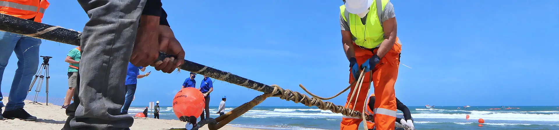
Seismology, volcanology, marine ecology, and oceanic conditions are key to understanding the future of our planet. The EllaLink GeoLab initiative aims to provide the scientific community with real-time, accurate and relevant data on seabed conditions along the EllaLink cable route. EllaLink is the first telecoms submarine cable in the world to integrate SMART cable concepts into their design.
The EllaLink cable runs across the Atlantic from Brazil to Portugal with branches to Madeira and Cabo Verde with future extensions to Canary Islands, French Guyana, Mauritania, Morocco and Southern Brazil. This route provides an excellent opportunity to use advanced in-fibre technologies to monitor both threats to the cable itself and provide valuable data on the wider ocean environment.
EllaLink GeoLab will be capable of supporting a range of sensing technologies, like Distributed Acoustic Sensing (DAS). Such a technology will turn the fibre optic cable into a sensor in its own right. This will allow the monitoring of integrity threats to the subsea cable and associated infrastructure. These can come from:
- Trawling activities
- Anchor drops
- Dredging activities
- Vortex induced vibration
In addition, technologies such as DAS can detect earthquakes and measure oceanographic conditions such as;
- Ocean currents
- Seabed rockslides etc
- Monitoring mammal activities.
DAS is a coherent OTDR technique where phase modulations of the reflected signal are measured. Any change in fibre strain results in an optical phase delay of light propagating in the strained section of the fibre. Therefore, DAS represents a technique for dynamic monitoring of strain distribution along an optical fibre. These technologies have been tested in-field over short periods and have demonstrated the ability to detect passing large vessels tens of kilometres away and trawler activity more than a kilometre away. In areas of low environmental noise DAS has the potential to detect micro-earthquakes which may provide early warnings of under-sea earthquakes and landslips that generate Tsunami risks.
Seismology
Seismology is a scientific discipline that deals with the analysis, description, and measurement of natural and artificial seismic waves. By studying the waves seismologists can image the interior structure of the Earth, inferring composition, temperature and the distribution of fluids.
Done rapidly, this information can be used for tsunami early warning or to get a quick understanding of affected areas. Certainly they will even detect offshore earthquakes up to a few tens of seconds, warning before strong shaking begins.
Ocean Seabed interaction
The range of interactions with the seabed is diverse, with vertical and horizontal interactions with the seabed occurring. Even though horizontal ocean-seabed interactions are very difficult to observe without extensive local research at the relevant seabed location, with the right equipment, such interactions can be very easy to observe, as well as their impact on the surrounding areas.
Thus, it is possible to record the vibrations excited by the interaction of ocean currents and the seabed. By extracting the amplitude and frequency, it might be possible to understand the erosion of the seabed induced as a function of prevailing currents. Due to the fact that these effects only have been studied to a limited extent, GeoLab can contribute to the science of the underwater world and other effects of sea currents.
Importantly, by continuously recording the ambient noise excited by these processes we could be able to map minute changes (sub percent) in the elastic properties of the seabed. It is essencial that detailed research into ocean-ground interactions is carried out.That research is essencial to gain knowledge of the interactions between the seabed and the ocean, partly because these interact on the relief that is created.
In short, these effects on the maritime climate require further research. That research will become possible through the use of equipment connected to the GeoLab is absorbed by DAS.
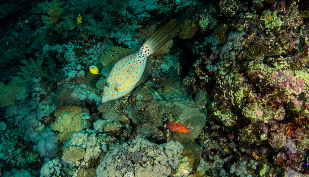
Benthic flows
The Benthic zone is a region in oceans and sea. The organisms living within this zone have a close relationship with the substrate as most of them are permanently located at the seafloor or within the seafloor sediment. This zone varies from a few centimetres in depth to hundreds of meters. In deeper areas, this zone is strongly associated with low sunlight and low temperatures. In these areas, little biodiversity is present.
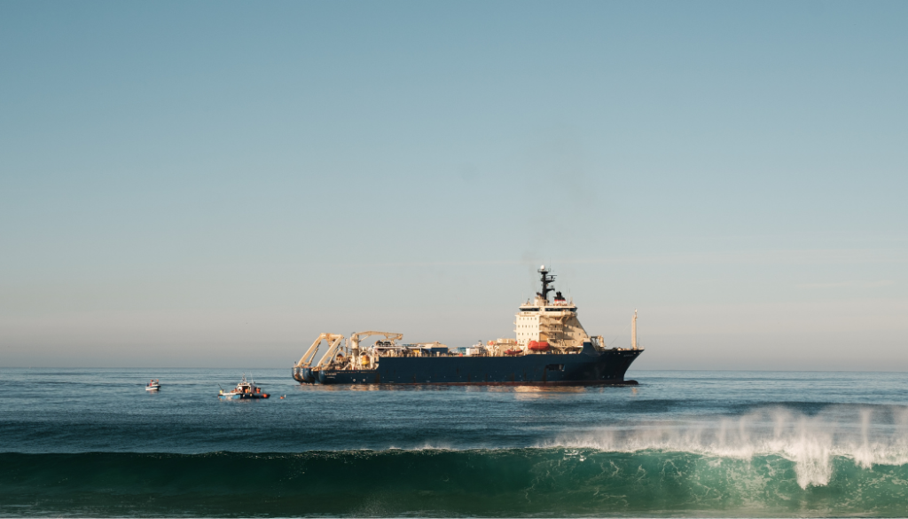
Anthropogenic movements
In addition to being active on land, human activity can also have an influence on the oceans. Examples of movements caused by humans include marine traffic, offshore (oil and gas or windmills), and fishing.
Abiotic and biotic marine interactions
Humans have various effects on the marine ecosystem and, thereby, marine mammals. These effects can be structural or incidental. Marine mammals are known to adapt their behaviour and reproductive strategy to human activity on the oceans. Studying these abiotic and biotic marine interactions can be very valuable to research on marine mammal evolution.
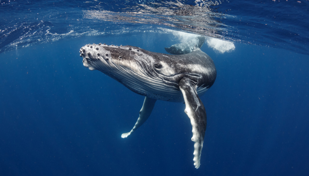
Cetology
Cetology is part of oceanic mammal science which examines the behaviour of species in the category of Cetacea. The purpose of this research is to get a better understanding of the behaviour, community dynamics, and evolution of these animals.